
English| EUR
Suggested for you
More currencies
Choose a language
Ieper lies less than an hour south of Bruges, but the battlefields that carry the name Flanders Fields spread far beyond the town itself. This page sets out the bruges to flanders field distance in kilometres and in driving time, then explains what that hour actually buys.
Quick answer
Bruges sits roughly 70 km (about 45 miles) from Ieper, a drive of about an hour across West Flanders.
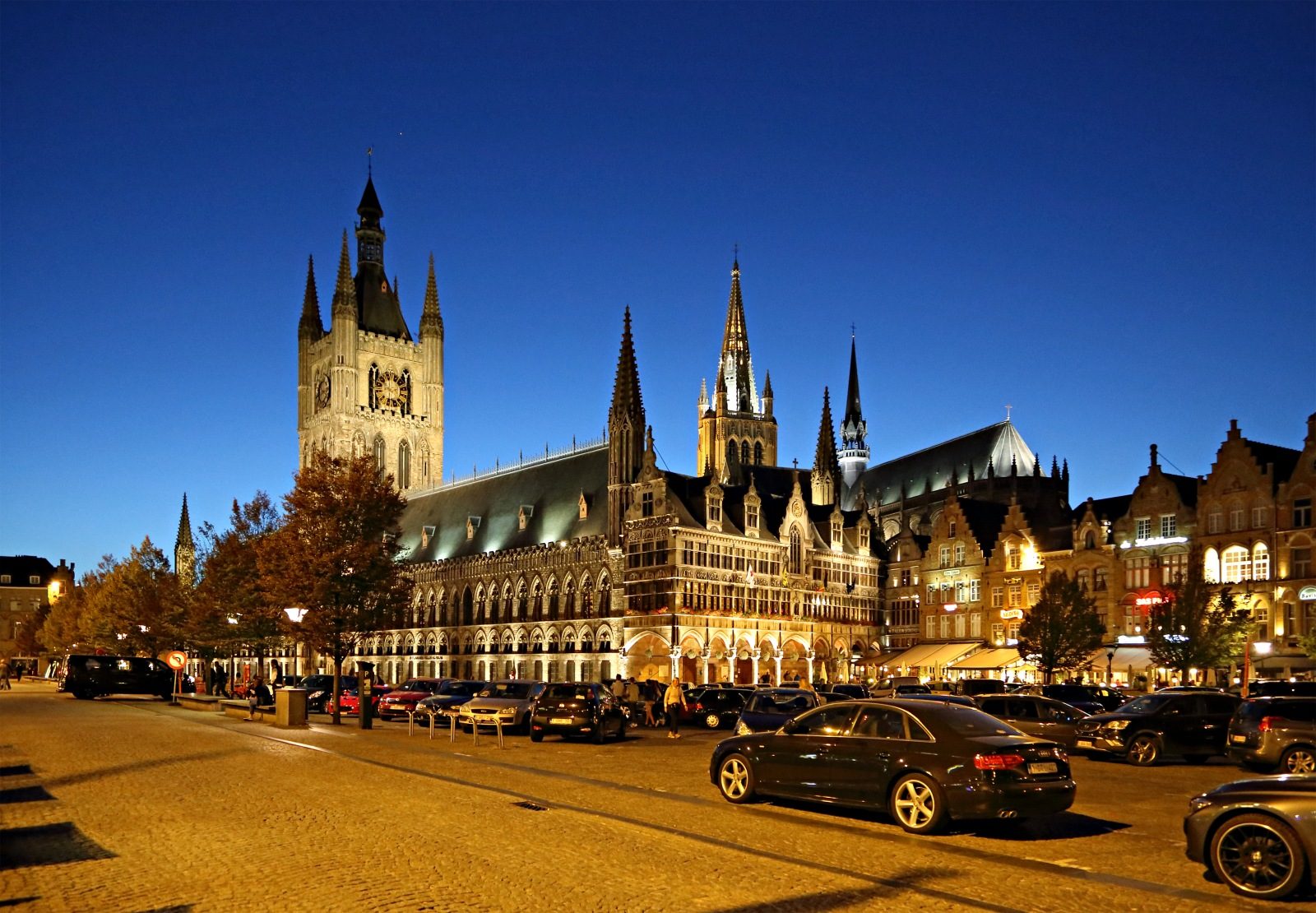
Bruges kept its medieval skyline through both world wars. Ieper — Ypres to the British and Commonwealth soldiers who held the salient around it — was shelled to powder, then rebuilt from pre-war photographs and architects' drawings, a process that ran on into the 1960s. Anyone measuring the Bruges to Flanders Field distance is therefore measuring an hour of flat West Flemish farmland between an intact medieval city and a reconstructed one. That hour is the easy part. The harder question is where Flanders Fields actually begins. The name covers no single site: it stretches across the Ypres Salient, the bulge in the Western Front that British, Commonwealth, French and Belgian troops defended from 1914 to 1918. Tyne Cot Cemetery lies at Passendale, north-east of the town. Essex Farm, associated with John McCrae and the poem written in 1915, sits beside the canal to the north. Hill 60 and Sanctuary Wood lie south-east. The practical consequence is that a Brugge naar Ieper afstand of roughly 70 kilometres does not describe a short outing. Add the loop through the cemeteries, memorials and preserved trenches scattered across the surrounding farmland and the distance travelled easily doubles. The museum alone asks for about two hours if the galleries and the Cloth Hall are both to be seen. Evening brings the Last Post beneath the Menin Gate, sounded by buglers of the local fire brigade, a ceremony that has held its place in the town's daily rhythm for close to a century and that pushes any return northwards well past dinner. Read the Bruges to Flanders Field distance as the shape of a day rather than a line on a map. An hour out through beet and maize fields, a long afternoon among the poppies, headstones and remnant craters of the salient, an hour back. Visitors who allow only a morning tend to see the museum and little else, which is the one thing the kilometre figure by itself will never tell them.
This plan suits independent visitors making a single full day trip from Bruges to the Ypres Salient, with no overnight stay required. Allow roughly nine hours door to door, including about two hours inside the In Flanders Fields Museum.
Leave the city centre for Ieper, around 60 to 70 kilometres south. Budget 60 to 90 minutes for the transfer depending on whether you drive or take a coach.
Allow a full two hours, and note that the belfry tower climb sits at the end of the route.
Break for an hour at one of the cafés ringing the square, a short walk from the museum exit. Book ahead in July and August, when tables fill quickly.
Walk five minutes east to the Menin Gate and read the panels listing the missing of the Salient. Thirty minutes is enough unless you are tracing a specific name.
Drive 15 minutes north-east to Passchendaele for the largest Commonwealth war cemetery in the world. The visitor centre entrance sets the scene before you reach the headstones.
Continue to the preserved trench system and museum east of Ieper. Wear boots, as the ground stays muddy in most seasons.
Head back north, arriving in Bruges by early evening. If you want to stay for the 20:00 Last Post ceremony at the Menin Gate, plan a later return instead.
Everything you need to know about bruges to flanders field distance
Best Flanders Field Tours from Bruges
Read more Tickets & toursFlanders Fields Remembrance Tour from Bruges
Read more GuideWhere is Flanders Field in Belgium
Read more Tickets & toursYpres Day Trip from Bruges
Read more Tickets & toursYpres Day Tours from Bruges
Read more GuideHow to Get to Flanders Fields from Bruges
Read more